
Guides
Does a Wi-Fi iPad Have GPS? No. Here Is the Fix
Wi-Fi-only iPads have no GPS receiver, per Apple's own specs. Here is what that does to your moving map in flight, and the three ways pilots fix it.
August 28, 2026
The modern electronic flight bag
Planning, charts, weather and 3D terrain in one workspace, with Mayday Mode coming soon for the moments that matter most.
Route, weather, charts and 3D terrain, fused into one workspace that follows you from preflight to logbook.
One flight with Ascent
01 · Plan
Route, fuel, weight & balance, NOTAMs and the full weather picture, assembled the moment you open Ascent and flagged for anything that changed since you planned.
02 · Fly
One map carries your position, traffic, terrain and weather, and it all keeps working with no signal at all.
03 · Debrief
Roll in on the right taxiways while Ascent times and logs the flight for you, with a track replay ready before you reach the FBO.
Only on Ascent
Ascent Copilot
SoonNOTAMs, TFRs, weather, fuel, your nearest diversion, by voice or text, briefed back in seconds.
Mayday Mode
SoonA terrain-shaped glide ring, your reachable runways ranked, 7700 and guard 121.5 stood up, ready for you to confirm. You fly the airplane.
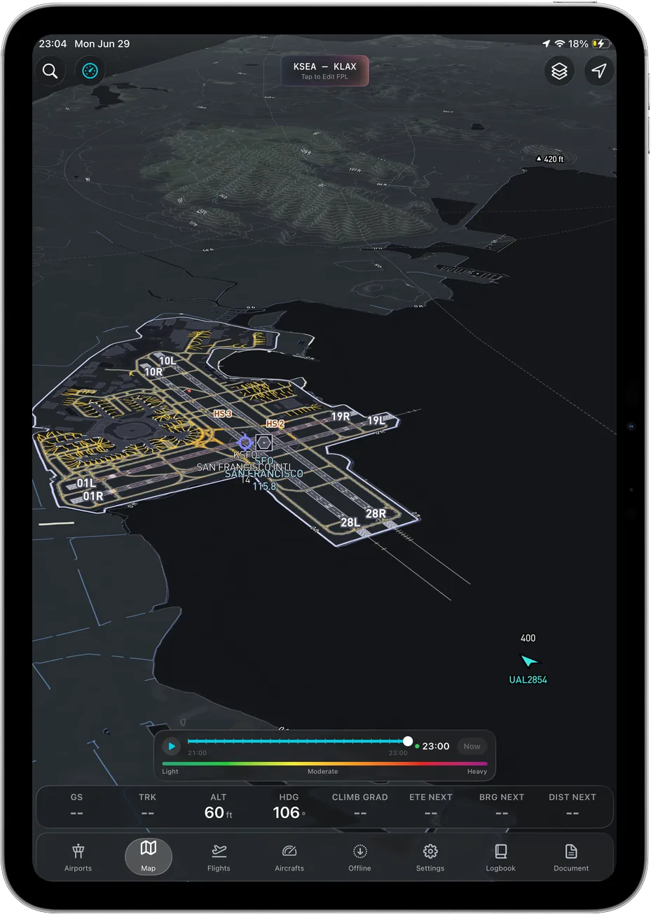
3D terrain
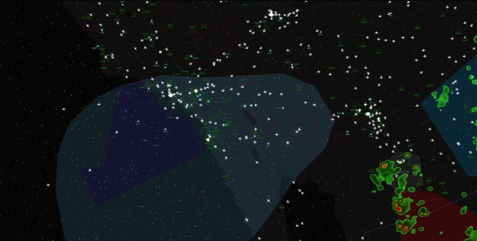
Real-elevation terrain with your own-ship in space and hazards called out. On a black night, that's everything.
Offline everywhere
Download AIRAC regions before you fly. Charts, plates, terrain and your plan stay sharp with no signal at all.
$89.99
a year, all-in
About one fuel stop. Every capability, one plan.
7700
stood up in one tap
Mayday Mode (soon) sets the squawk ready for you to confirm.
121.5
guard, pre-tuned
Ready alongside it. You stay in command of the radios.
See it in the cockpit
Real screens from Ascent. Every layer tuned for a fast read in a moving cockpit.
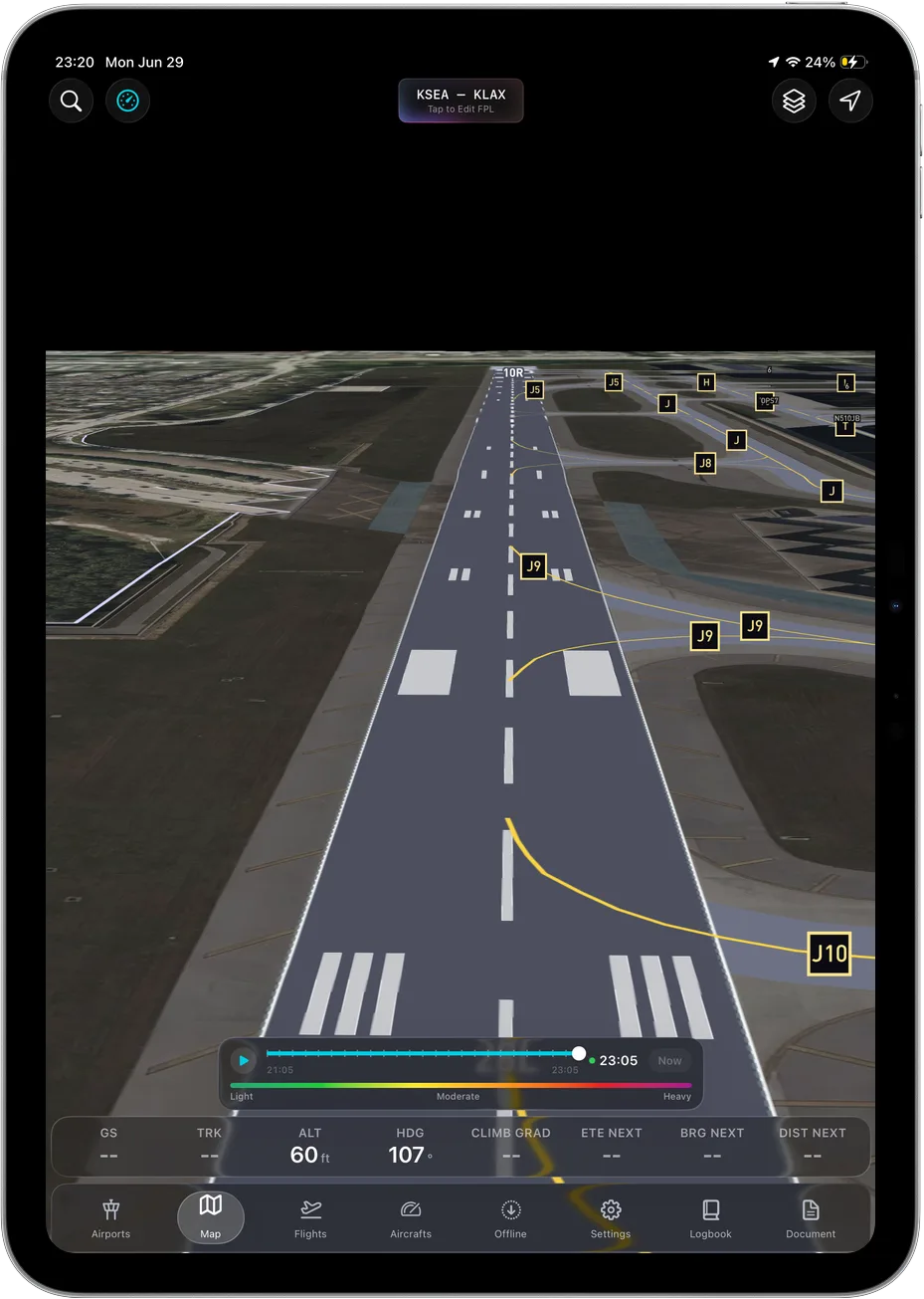
Real-elevation terrain and runways, so a black night reads like a clear day.
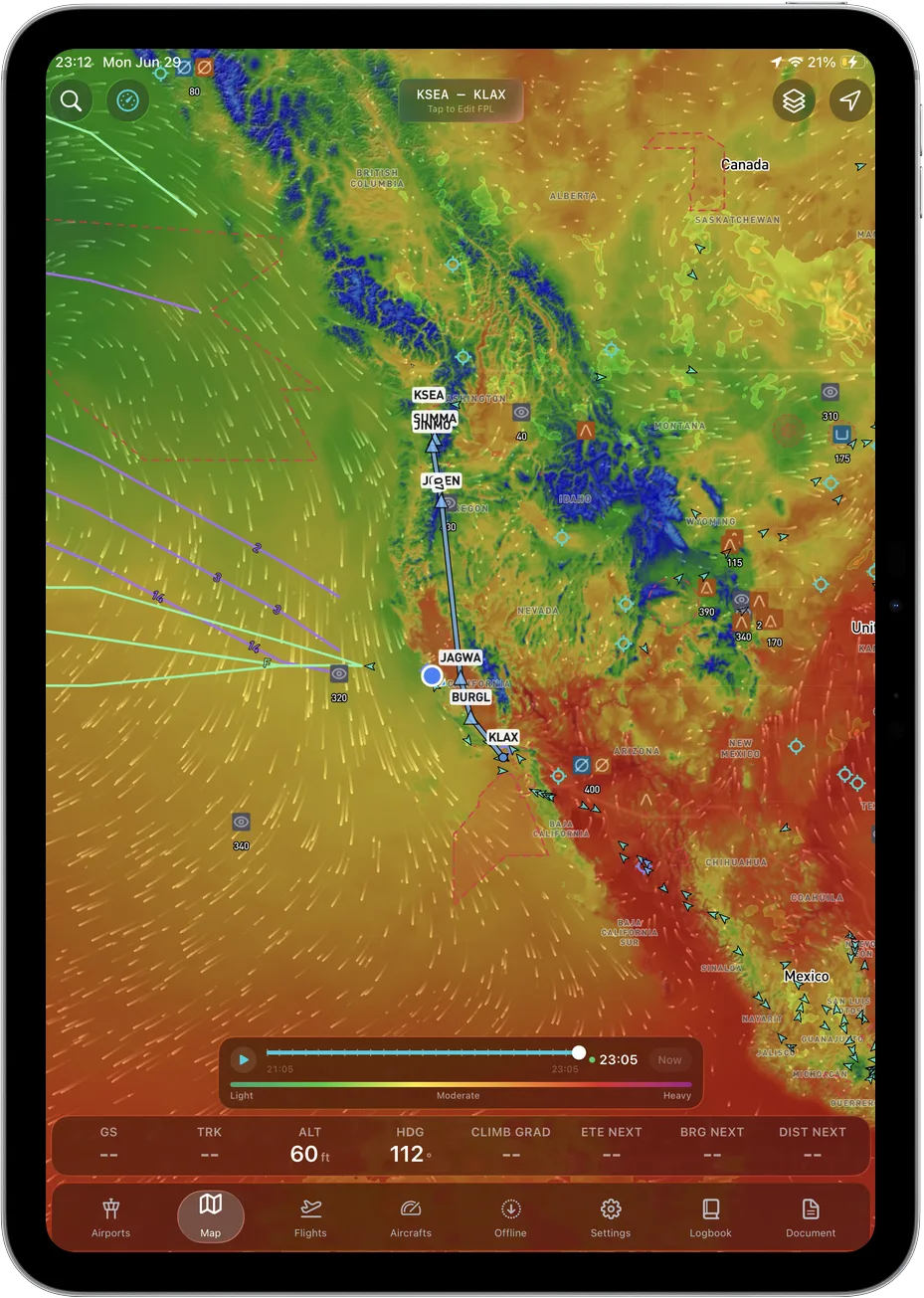
Animated winds, temperature and turbulence painted along your whole route.
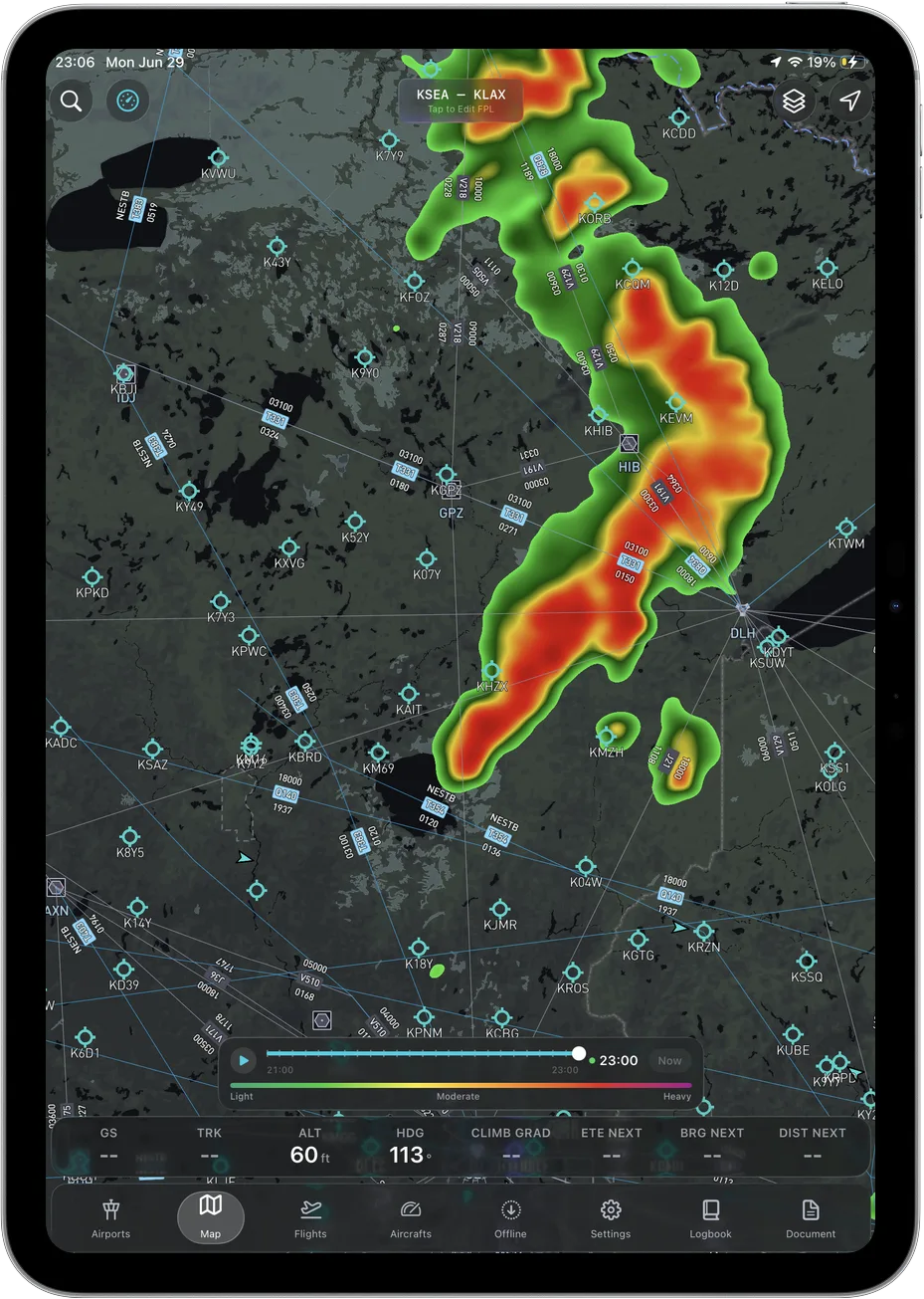
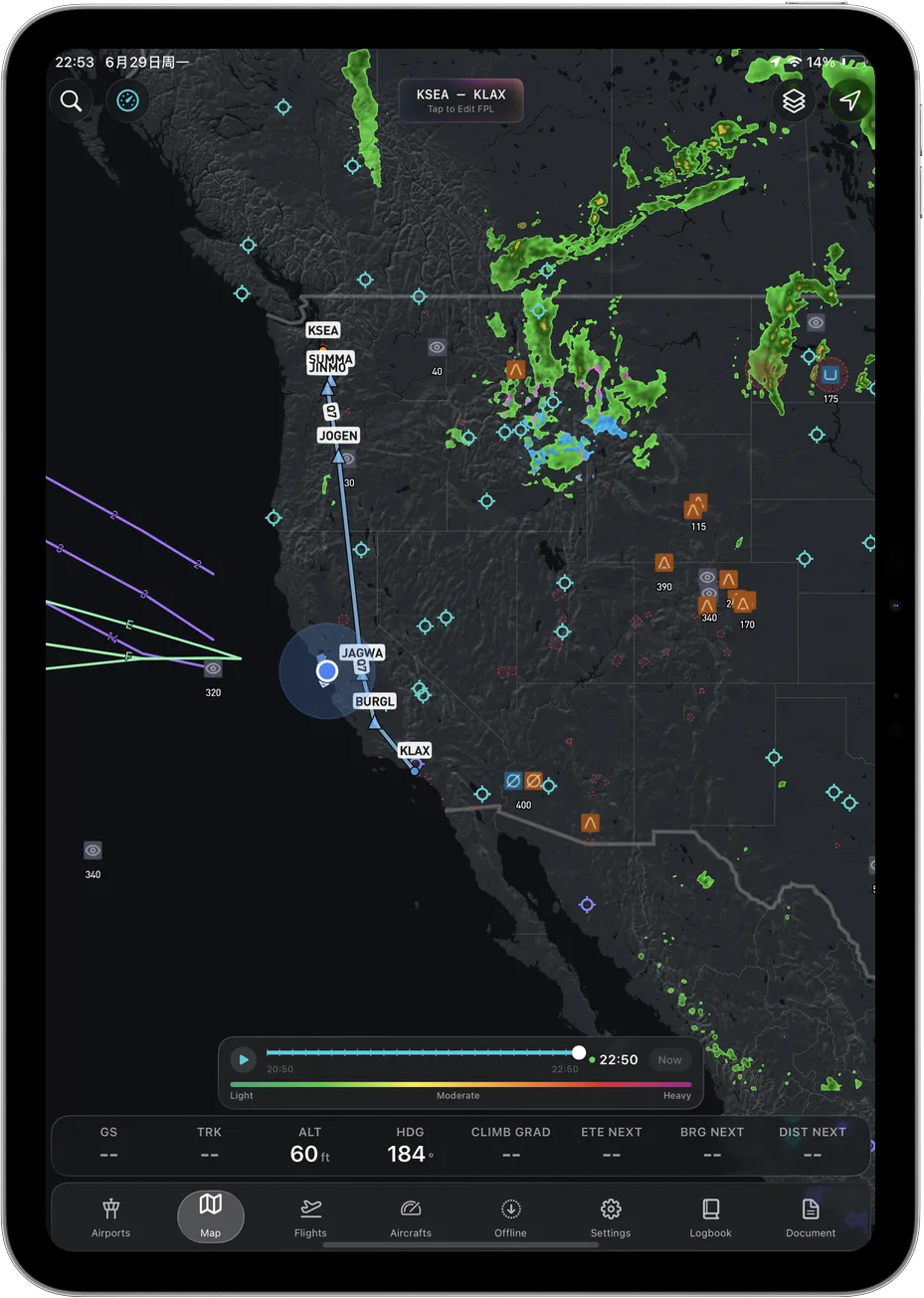
Live convective radar layered over terrain, traffic and your flight plan.
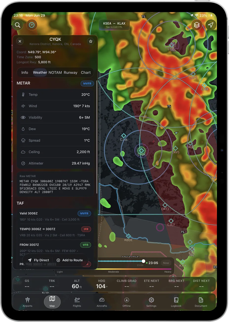
METARs and TAFs in plain language, with flight category at a glance.
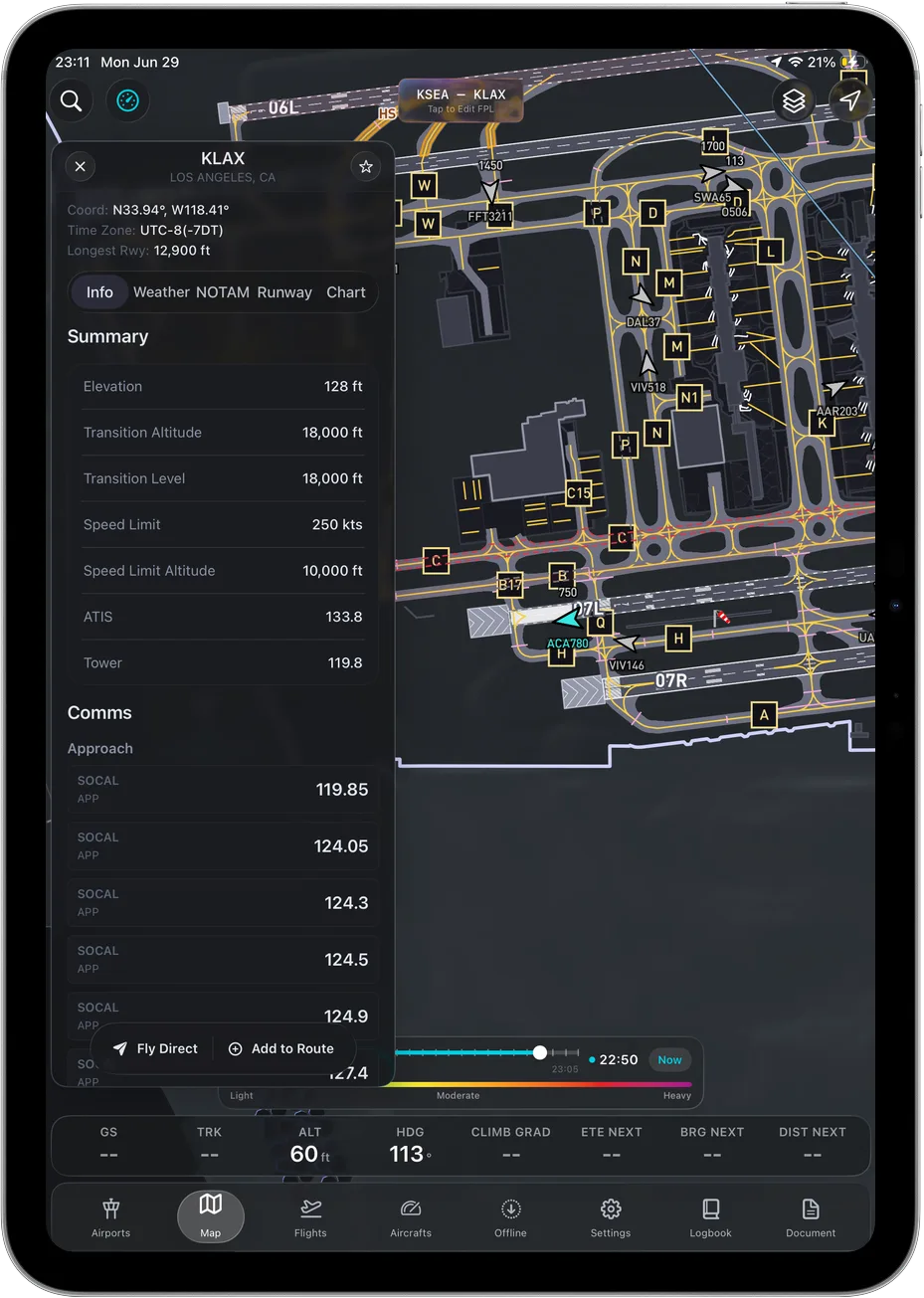
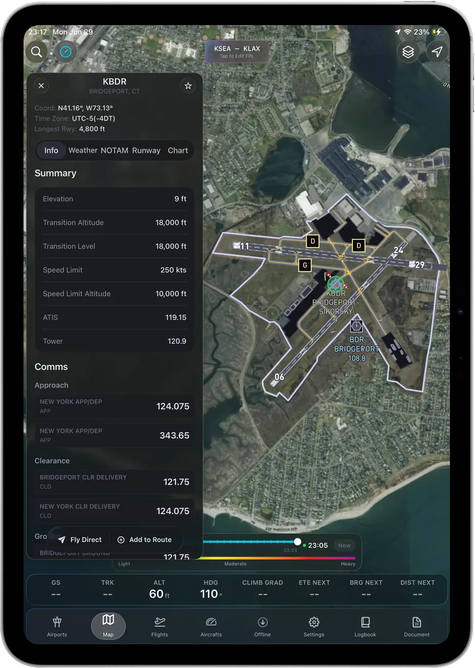
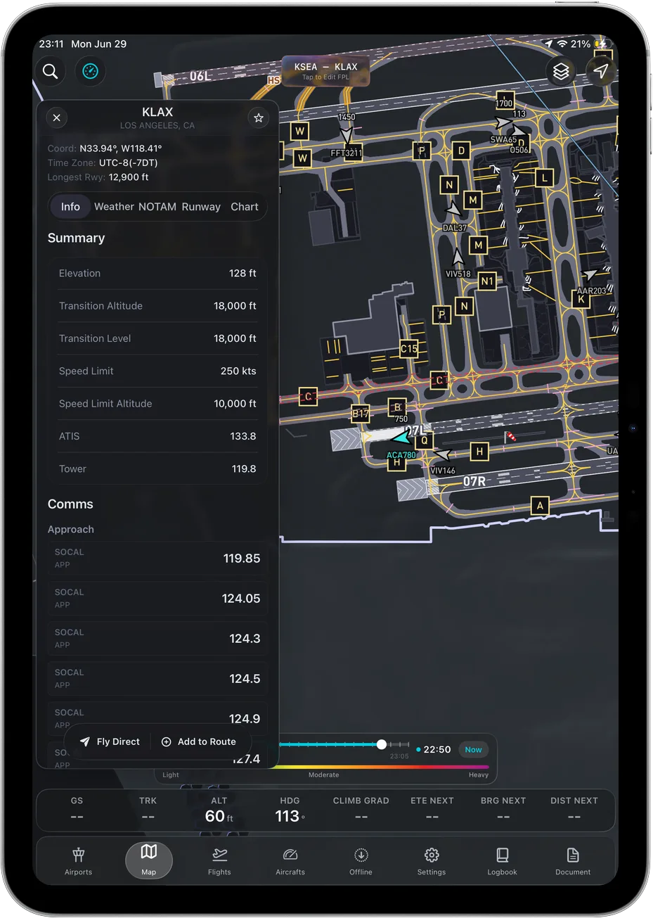
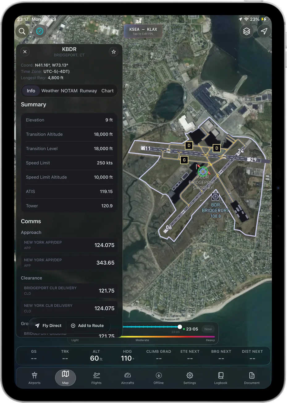
Geo-referenced taxi diagrams, frequencies and runway data on the ramp.
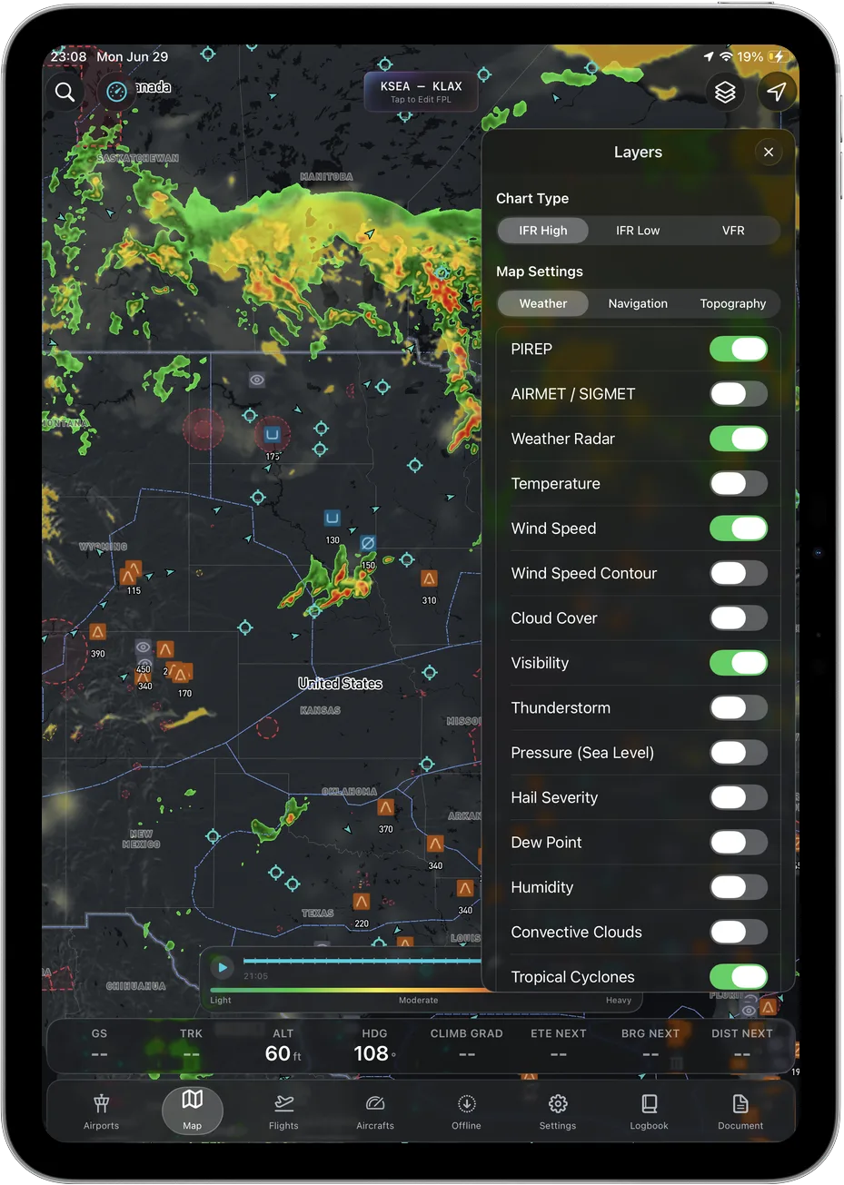
PIREPs, AIRMETs, radar, winds, terrain. Toggle exactly what you need.
The platform behind it
The same live data pipeline professional dispatch teams run on, fused into one cockpit workspace.
Ascent vs the legacy apps
All the table-stakes a professional EFB needs, plus the safety and AI tools the incumbents never shipped.
Geo-referenced charts & plates
Live weather, NOTAMs & TFRs
Flight planning & filing
Every capability at one price, no tiers
| Capability | Ascent | ForeFlight | Garmin Pilot |
|---|---|---|---|
| Geo-referenced charts & plates | |||
| Live weather, NOTAMs & TFRs | |||
| Flight planning & filing | |||
| Every capability at one price, no tiers |
The whole flight bag, without the tier ladder.All in one subscription, $89.99 a year. ForeFlight starts at $130, Garmin at $110, both with capabilities held above the entry tier.
Get AscentCompetitor pricing and features per publicly available information as of 2026. Not affiliated with or endorsed by ForeFlight or Garmin.
Pricing
$59.99first year
then $89.99/year · one plan, no tiers
Get your first year for $59.99Students, ask your flight school about a single-use Ascent Pro access code.
Questions, answered
From the blog
Preflight to logbook
The whole flight bag: charts, weather and 3D terrain, all offline, for $89.99 a year.
